Forebank Of Canterland
Marykirk, Laurencekirk, Aberdeenshire, AB30 1XDOffers Over £2,150,000
281.3 acres
- Around 281.30 acres (113.84 ha)
- Productive farmland
- For sale as a whole
- Suited to a variety of enterprises
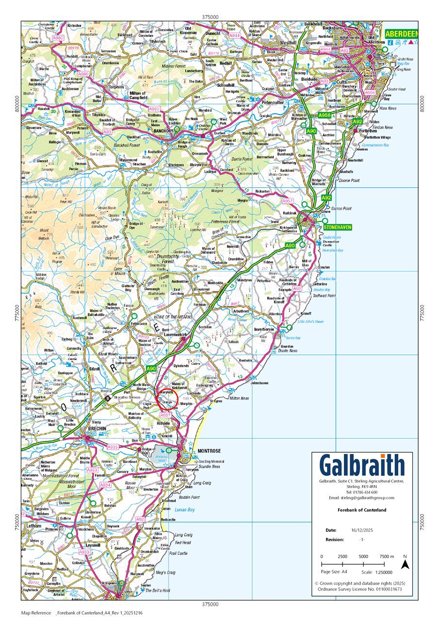
Forebank of Canterland comprises a block of agricultural land extending to approximately 281.30 acres (113.84 ha), offering scope for a range of uses. According to the James Hutton Institute, the majority of the land is classified as Grade 2 and Grade 3(1), and is registered for IACS purposes. The fields have traditionally been used for arable farming, but the land is well suited to a variety of enterprises, including potato and vegetable production.SITUATIONForebank Of Canterland is situated on the south east of The Howe of the Mearns, conveniently located 4 miles south of Laurencekirk and benefitting from access directly off the public road network. The land extends to 281.30 acres (113.84 ha).The land is surrounded primarily by agricultural land, sitting approximately 25-100 meters above sea level across the holding. The land is suitable for a variety of agricultural uses, including the cultivation of high-value crops such as potatoes, peas, malting barley, and wheat. The area also benefits from a well-established supply chain network to support these activities.LOCATIONForebank of Canterland is situated approximately 1 mile east of Marykirk, 4 miles south of Laurencekirk, and 30 miles south of Aberdeen. The land is located in a much sought-after area and benefits from direct access onto the public road network.