Lot 1 Gardener's Hall
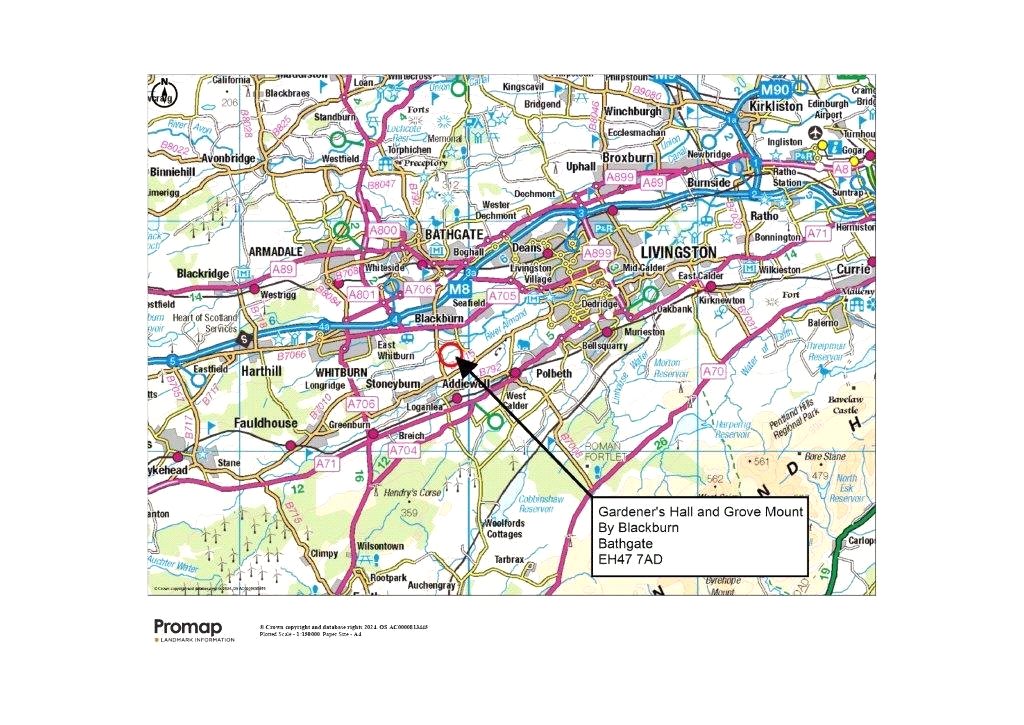
Blackburn, Bathgate, West Lothian, EH47 7ADOffers Over £435,000
69.58 acres
- Traditional farmhouse (in need of modernisation)
- Useful modern cattle shed and a number of timber store sheds
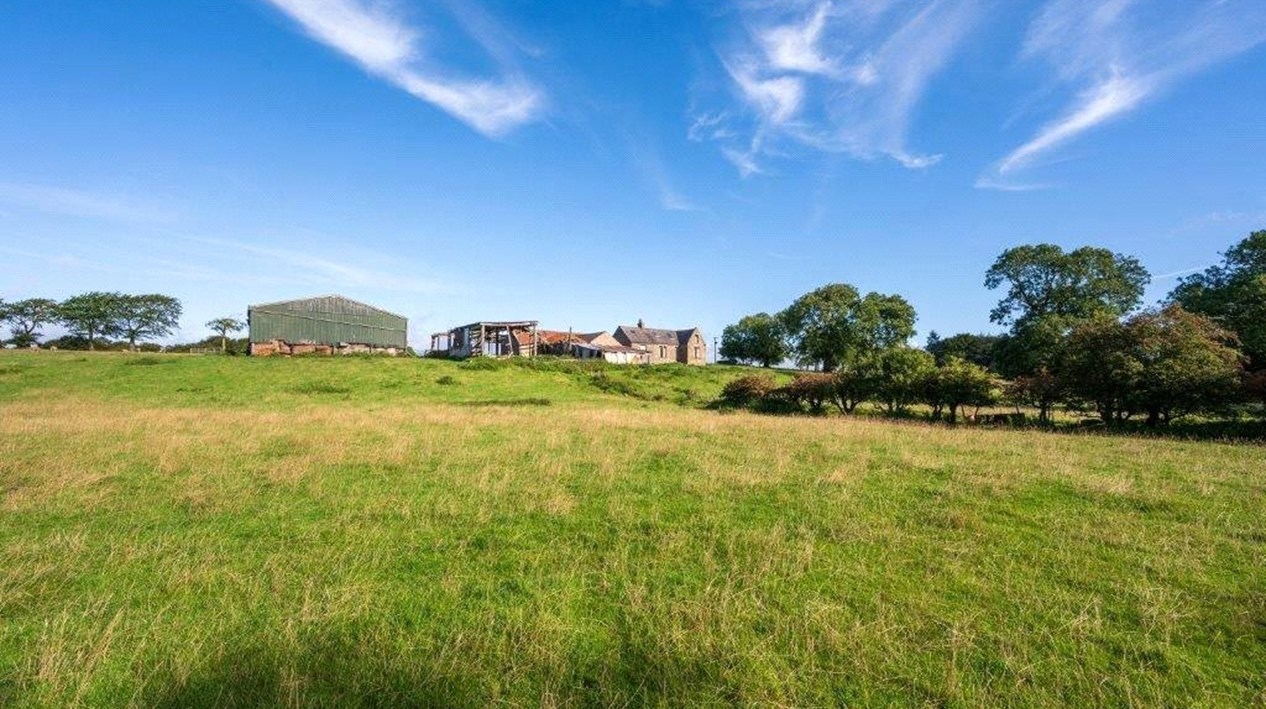
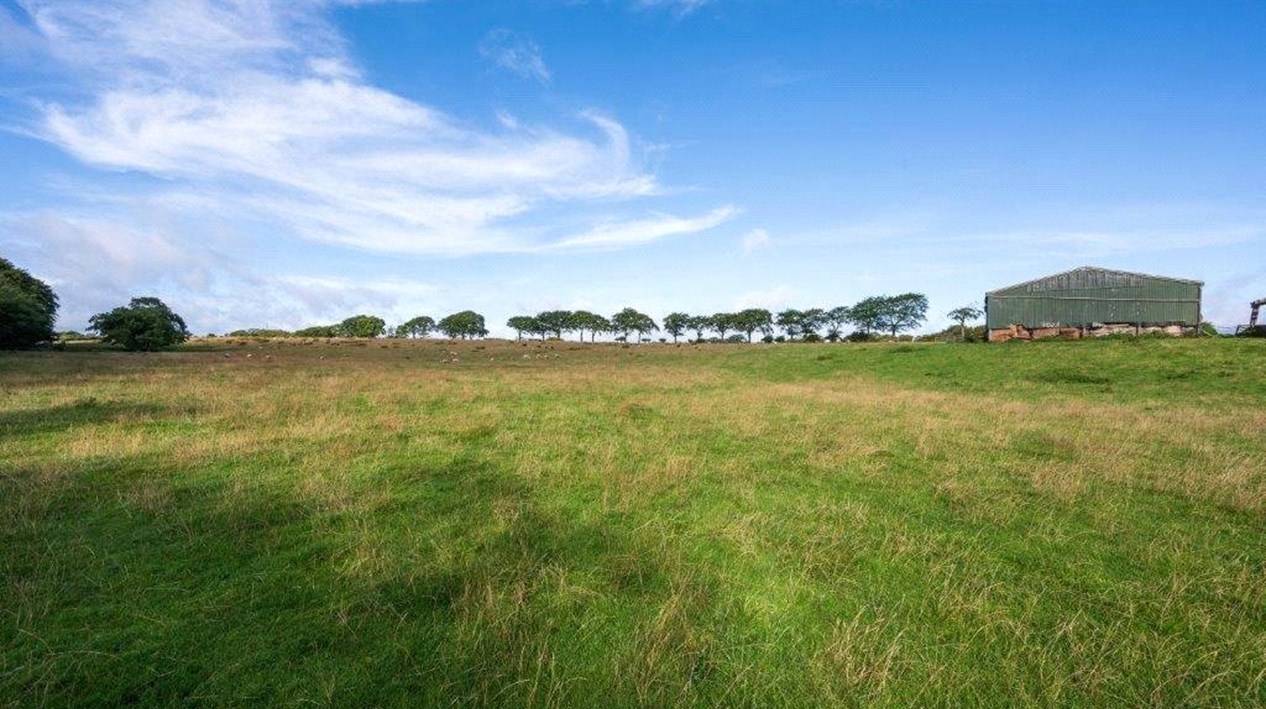
- Productive block of farmland used for grazing and fodder production
- Land situated in a contiguous block benefitting from good public road access
- Situated in a rural position with views over the surrounding countryside
- Potential to expand environmental and forestry interests through natural capital and afforestation schemes
- About 28.16 Ha (69.58 Acres) in total
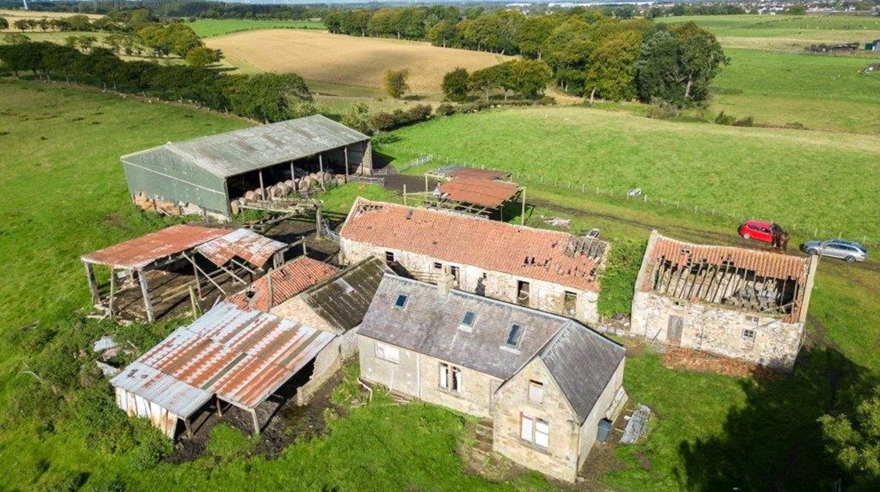
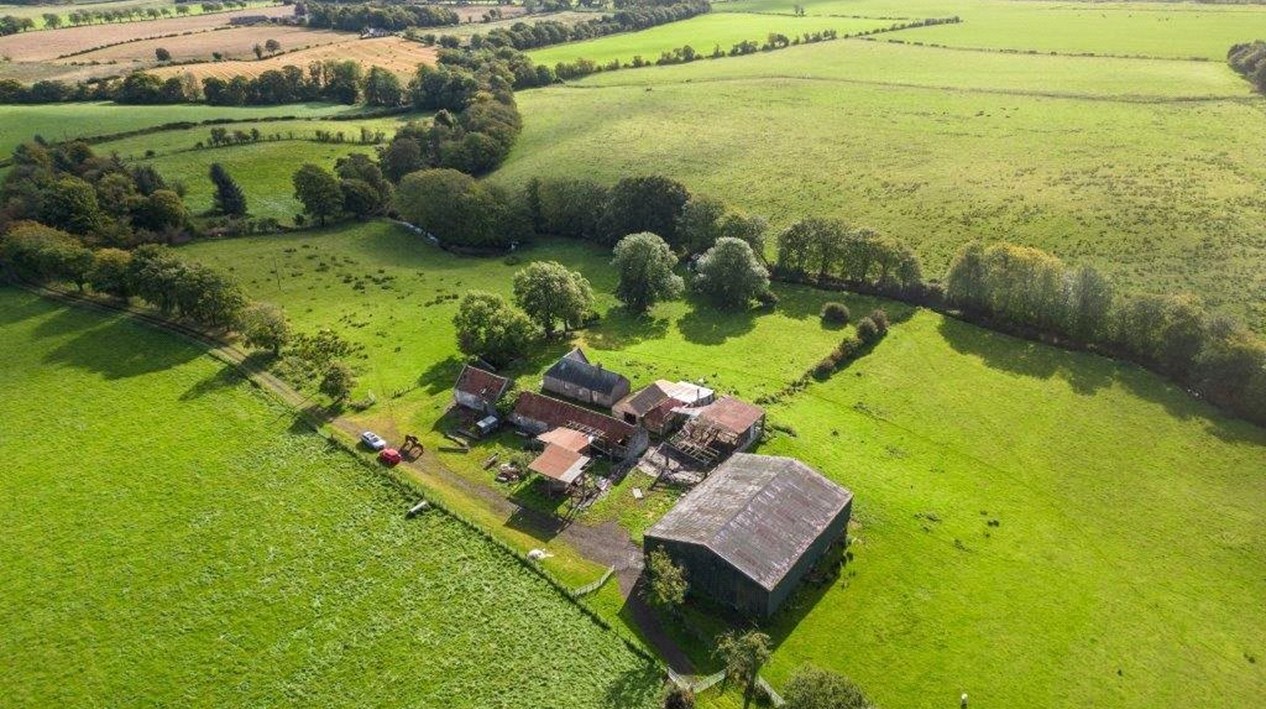
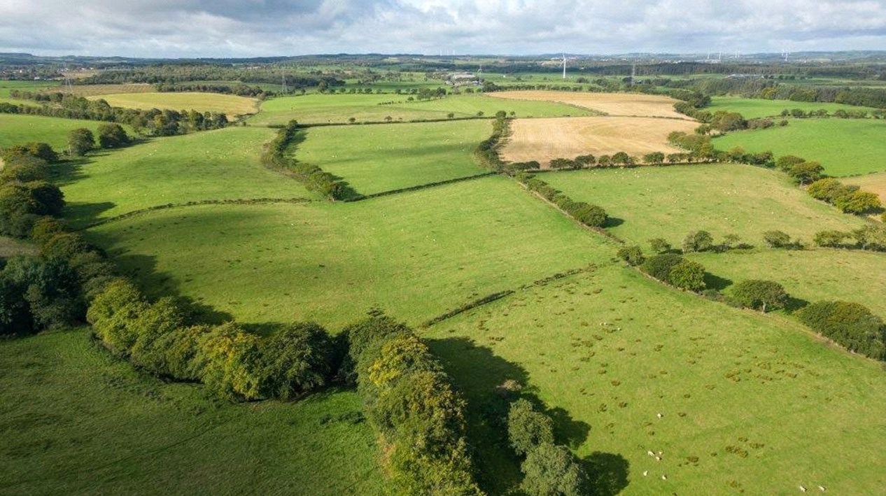
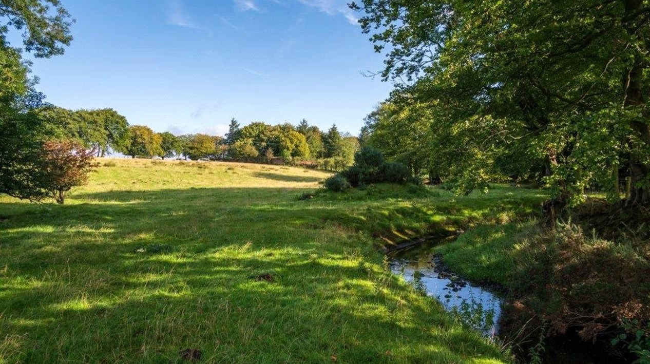
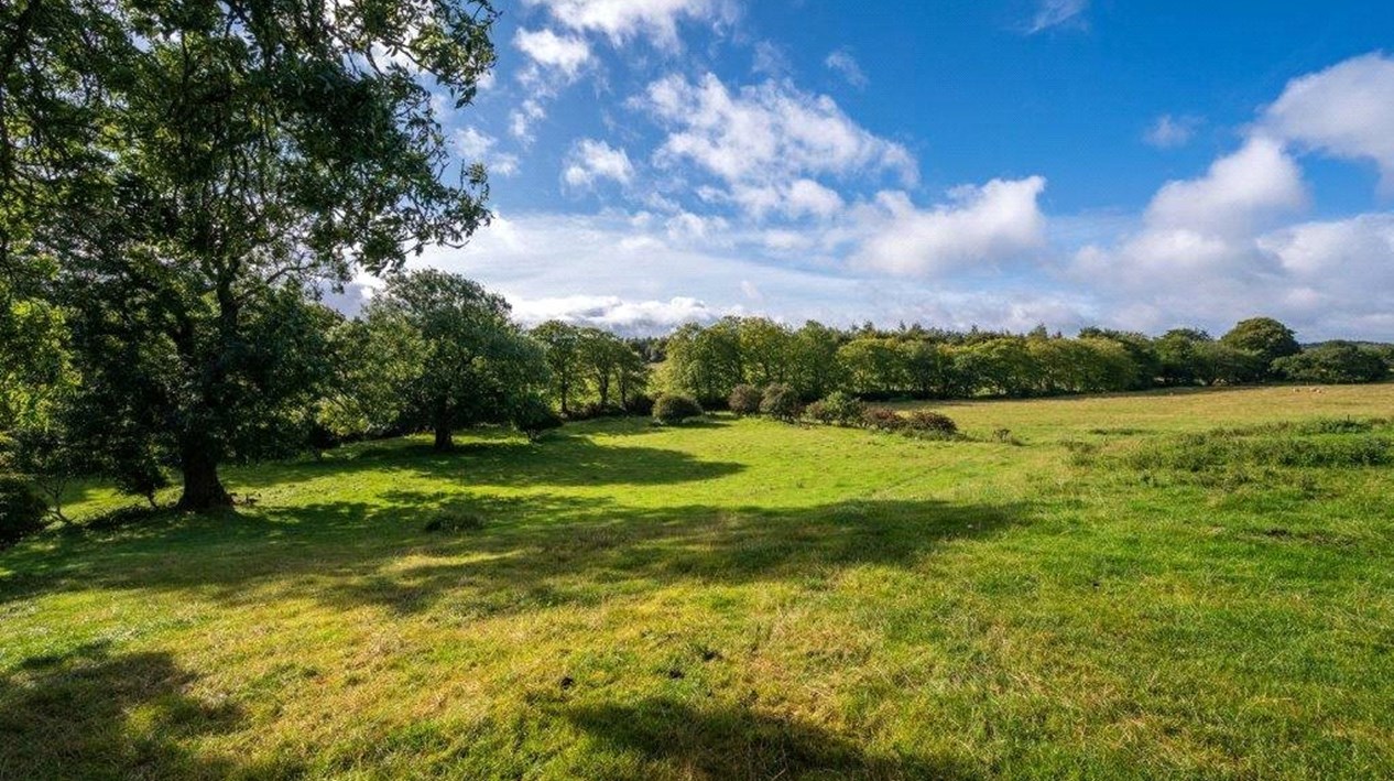
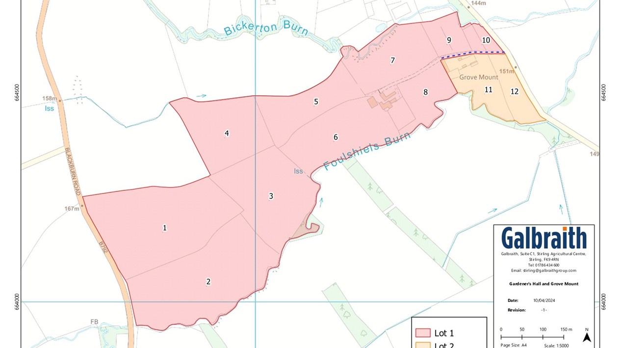
Closing Date Set for 12.00 noon on Thursday 2 May 2024.LOT 1: LAND AND BUILDINGS AT GARDENER'S HALL EXTENDING TO 28.16 Ha (69.58 Acres)The subjects at Gardener's Hall, comprise a compact farming unit and are accessed either via a private road which is shared with Grove Mount, and leads off the minor public road which links Blackburn to the B7015/Westwood, or via field gates which lead directly onto B792 which bounds the subjects to the west.Gardener's Hall Farmhouse (13.7m x 4.89m NIA)Located to the east of the holding and accessed via the internal farm road there is a former farmhouse of traditional stone construction under a slate roof. The property provides accommodation over one level, and is currently uninhabitable requiring modernisation throughout and presents a unique opportunity to develop into a substantial family home in a secluded position within the farm.OutbuildingsLocated adjacent to the farmhouse, there is also a range of adjacent traditional outbuildings of stone construction under pantile and corrugated roofs which are also in a dilapidated state. There are several timber stores situated adjacent to the outbuildings used for ancillary storage.Hay Shed (23.3m x 17.0m)Located to the west of the farmhouse there is a modern hay shed which is of timber frame construction under a box profile roof with an earth floor.FarmlandThe Land in Lot 1 extends to approximately 28.16 Ha (69.58 Acres) in total including roads, yards and buildings and surrounds the farmhouse and buildings and extends to the B792 public road which bounds the subjects to the west. The majority of the farmland is currently down to pasture and has been classified by the James Hutton Institute as Grade 3.2 and Grade 4.2. The land is gently undulating but rises overall from 150m above sea level at its lowest point to the south east of the steading to 166m at its highest point to the west of the of the holding. The land has predominantly been used for grazing and fodder production and is bound to the south by the Foulshiels Burn and the Bickerton Burn also bounds part of the subjects to the north east of the holding.