Skip to content

Mapping And GIS

Our in-house GIS specialists can produce high quality plans and maps for use in a variety of situations.

Mapping and GIS

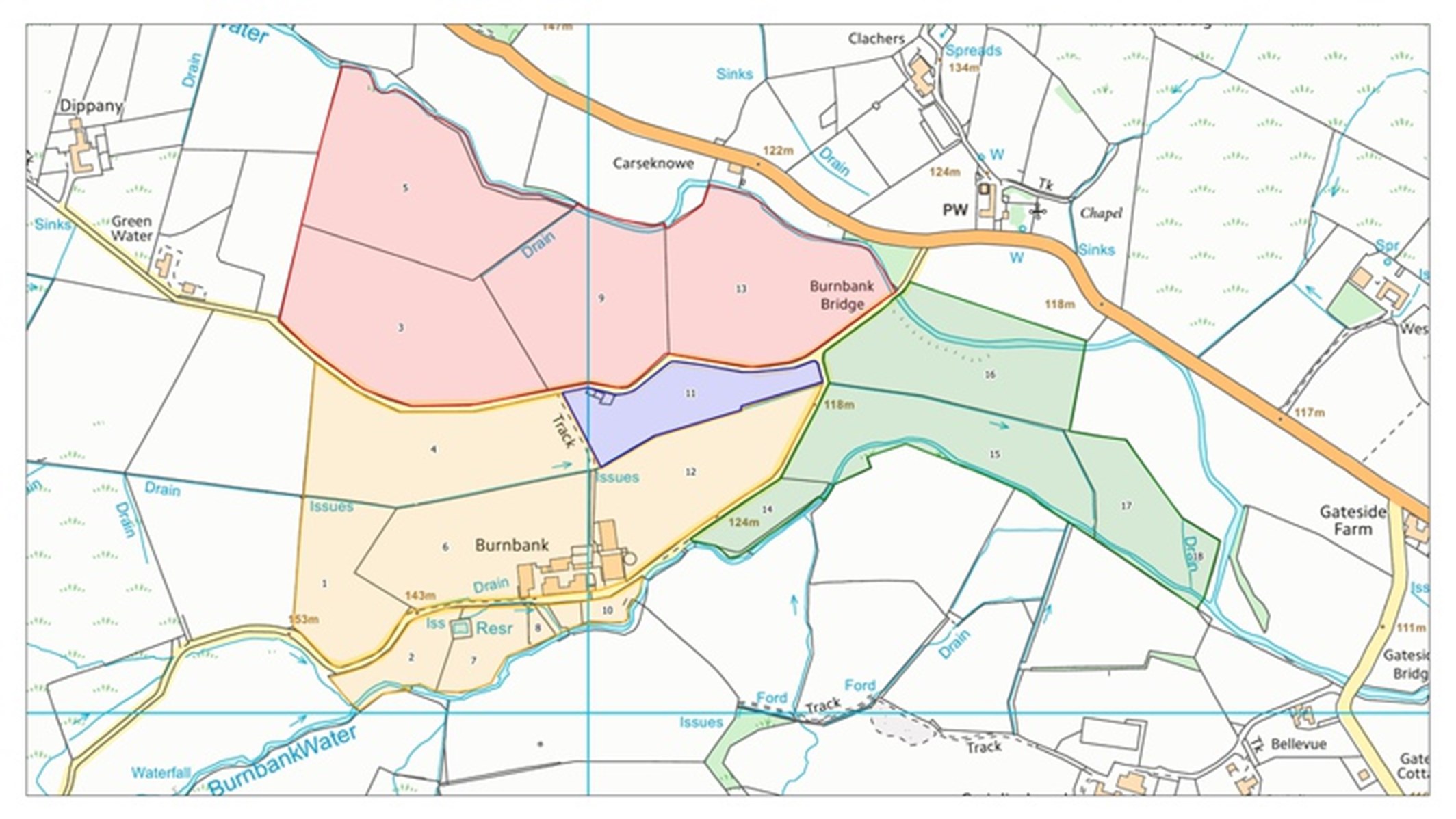
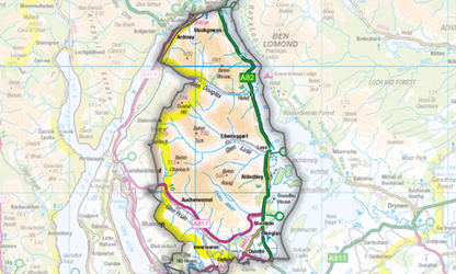
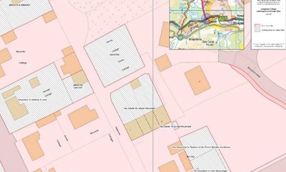
Our GIS team works closely with renewables developers, utility companies, independent connection providers and private landowners to understand the spatial relationship between their assets, ownership and rights to improve decision making and unlock project value.

Our Services:

  • Land assembly / referencing and title search; 
  • Linear route optioneering, site suitability and environmental constraints analysis; 
  • Wayleave, servitude / easement, option, CPO / DCO, ownership and legal plan production;
  • Cloud-hosted web GIS portals for multi-stakeholder projects;
  • On-the-ground data capture; 
  • Geolocated photographic records of condition; 
  • Data procurement, including Ordnance Survey, Registers of Scotland and HMLR. 

Our skills:

  • Cartography and data visualisation; 
  • Spatial analysis; 
  • Data management / interoperability; 
  • Process automation. 

Our Technologies:

  • Open-source and proprietary desktop GIS / spatial databases; 
  • Cloud-hosted web GIS; 
  • Mobile field data capture; 
  • Data interoperability applications. 

Meet the GIS Specialists

Strath Slater

FRGS CGeog(GIS)

Senior Associate

Rural Management, Renewables and Utilities

Perth

Phone icon 07917 327 738